🌡️Hong Kong Park:28°C💧 55%AQHI 4(Moderate)⚠️ The Fire Danger Warning is Yellow and the fire risk is high.
✨ Kaifong Tip: Great weather to drop off recyclables at nearby GREEN@COMMUNITY or Smart Bins!
HONG KONG 18 DISTRICTS HUB
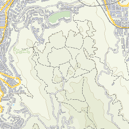
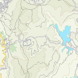
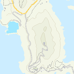
🗺️ 在互動地圖探索Wan ChaiWan Chai (Wan Chai)
共收錄 6 個社區設施及實時鏡頭




















🌬️
AvailableCauseway Bay Air Quality Monitoring Station
1 Yee Wo Street, Causeway Bay, Hong Kong
Wan ChaiAQHI Stations
🚗
AvailableAberdeen Tunnel - Wan Chai Side [H210F]
Aberdeen Tunnel - Wan Chai Side
Wan ChaiTraffic CCTV (Live)
🚗
AvailableCanal Road Flyover near Gloucester Road [H904F]
Canal Road Flyover near Gloucester Road
Wan ChaiTraffic CCTV (Live)
🚗
AvailableCanal Road Flyover near Times Square [H216F]
Canal Road Flyover near Times Square
Wan ChaiTraffic CCTV (Live)
🏀
AvailableHammer Hill Road Sports Ground
1 Hing Fat Street, Causeway Bay
Wan ChaiSports & Pools
💧
AvailableWing Hing Street Public Toilet (Near universal toilet at G/F)
No.15 Wing Hing Street
Wan ChaiWater Dispensers