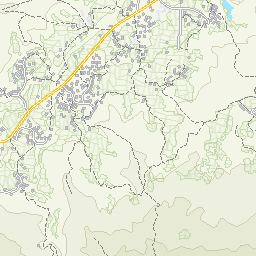
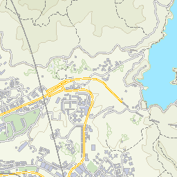
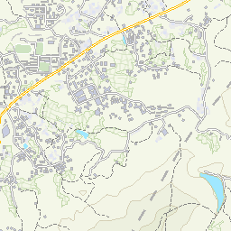
街
KaifongMapHK Open Data × Agentic AI Civic Map
🗺️ Interactive Map📊 Data Catalog🤖 Developers / MCPData StatusAbout
🗺️Open MapSign In / Join
🌡️Tai Po:30°C💧 55%AQHI 4(Moderate)⚠️ The Fire Danger Warning is Yellow and the fire risk is high.
✨ Kaifong Tip: Great weather to drop off recyclables at nearby GREEN@COMMUNITY or Smart Bins!
HONG KONG 18 DISTRICTS HUB

Tai Po (Tai Po)

共收錄 5 個社區設施及實時鏡頭

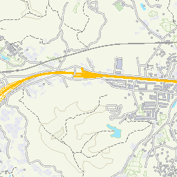
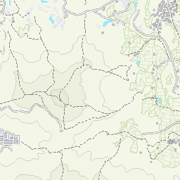
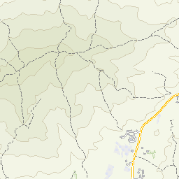
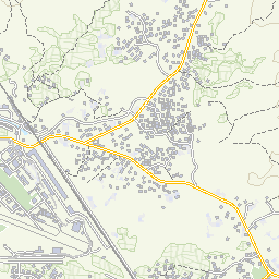
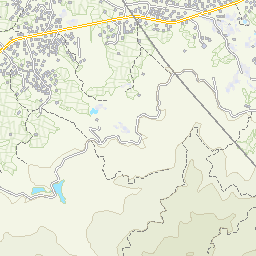
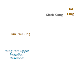
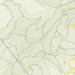
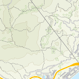
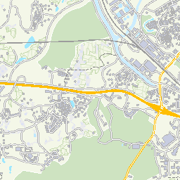
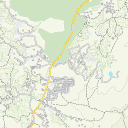
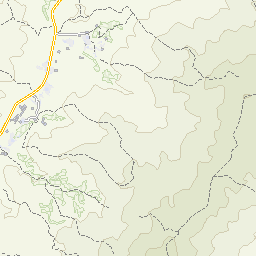
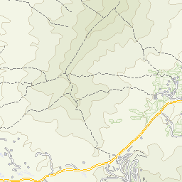
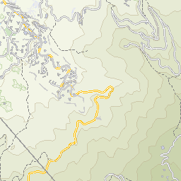
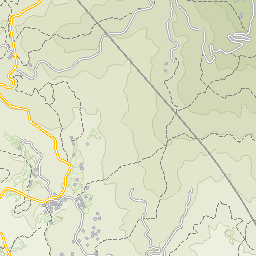
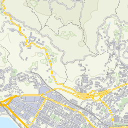
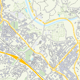
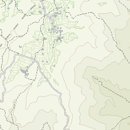
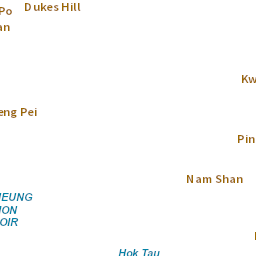
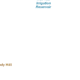
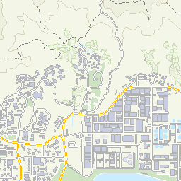
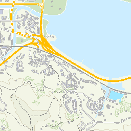
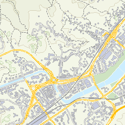
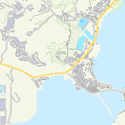
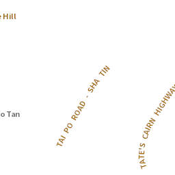
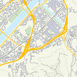
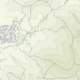
🗺️ 在互動地圖探索Tai Po
Z14
© Map information from Lands Departmenti
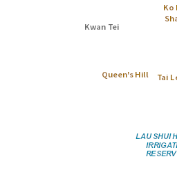
22.4510°N, 114.1690°E · 5 POIs
🌬️

Tai Po Air Quality Monitoring Station

Tai Po Government Offices Building, 1 Ting Kok Road, Tai Po, New Territories

Available
Tai PoAQHI Stations
♻️

Serenity Villa

Serenity Villa

Available
Tai PoRecycling Points🔒 只限住戶
🏀

North District Sports Ground

1/F, Tai Po Tung Cheong Street Leisure Building, 25 Tung Chung Street, Tai Po

Available
Tai PoSports & Pools
🚻

Tai Hang Public Toilet

Tai Hang Tsz Tong Tsuen, Tai Po

Available
Tai PoPublic Toilets
💧

Fong Ma Po Public Toilet (At side of entrances at G/F)

Fong Ma Po, Lam Tsuen, Tai Po

Available
Tai PoWater Dispensers

Product

  • 互動地圖 / Interactive Map
  • 開放數據目錄 / Data Catalog
  • 數據同步狀態 / Sync Status
  • 精選路線 / Featured Route
  • 更新日誌 / Changelog

Data & Developers

  • 開發者中心 / Developers Hub
  • MCP AI 接入指南 / MCP Guide
  • REST & 開放數據匯出 / API Docs
  • 個人 API 密鑰 / Personal API Keys
  • 管理控制台 / Admin Console

Community

  • 參與街坊貢獻 / How to Contribute
  • 社群守則 / Community Guidelines
  • 常見問題 / Help & FAQ
  • 關於街坊地圖 / About Us
  • 聯絡我們 / Contact

Trust & Legal

  • 資料來源及授權 / Attribution
  • 服務條款 / Terms of Service
  • 私隱政策 / Privacy Policy
  • 無障礙聲明 / Accessibility

© Map information from Lands Department · Data from DATA.GOV.HK & CSDI Portal

Disclaimer: KaifongMap is an independent civic-tech project and is not affiliated with or endorsed by the HKSAR Government.

© 2026 KaifongMap (街坊地圖) · Open Data Reciprocity for Hong Kong